Here’s Jean Hudson’s latest Places I Love
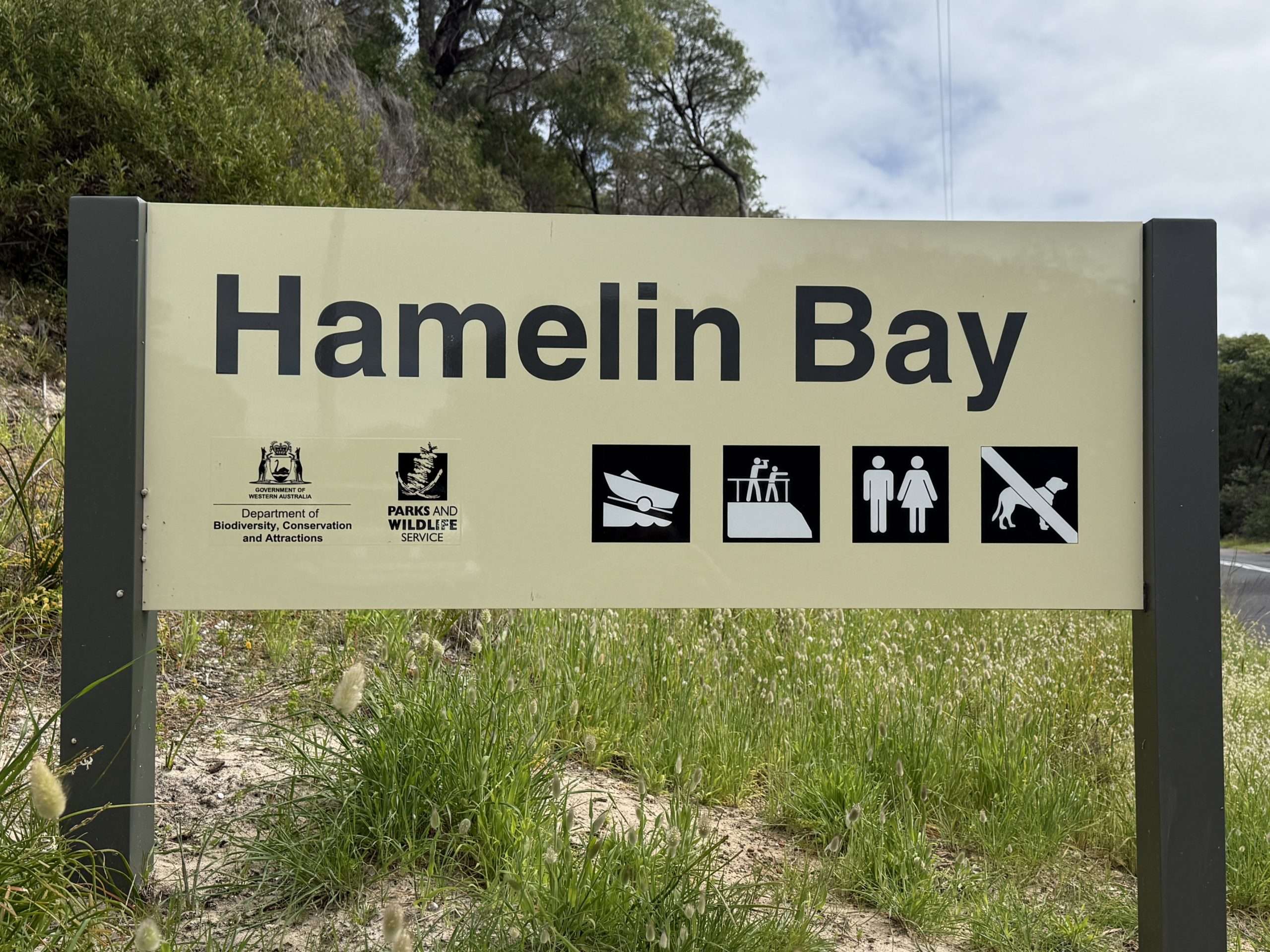
When I’m down this way, I always visit Hamelin Bay, south of Margaret River.
Hamelin Bay was named in 1801 during the Baudin expedition. This major French voyage of exploration aimed to map the Australian coastline and collect scientific data. During this time there was European competition between Britain and France for territorial knowledge and potential colonisation of Australia. Jacques Hamelin was a French naval officer, second in command to Nicolas Baudin.
Their ships Le Geographe and Le Naturaliste returned to France with thousands of plant and animal specimens unknown to Europe, including kangaroos and wallabies, black swans and emus and marine creatures. Many animals died on the return journey from seasickness and from an unsuitable diet of ground rice and red wine!
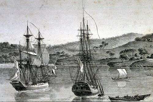
Le Geographe and Le Naturaliste
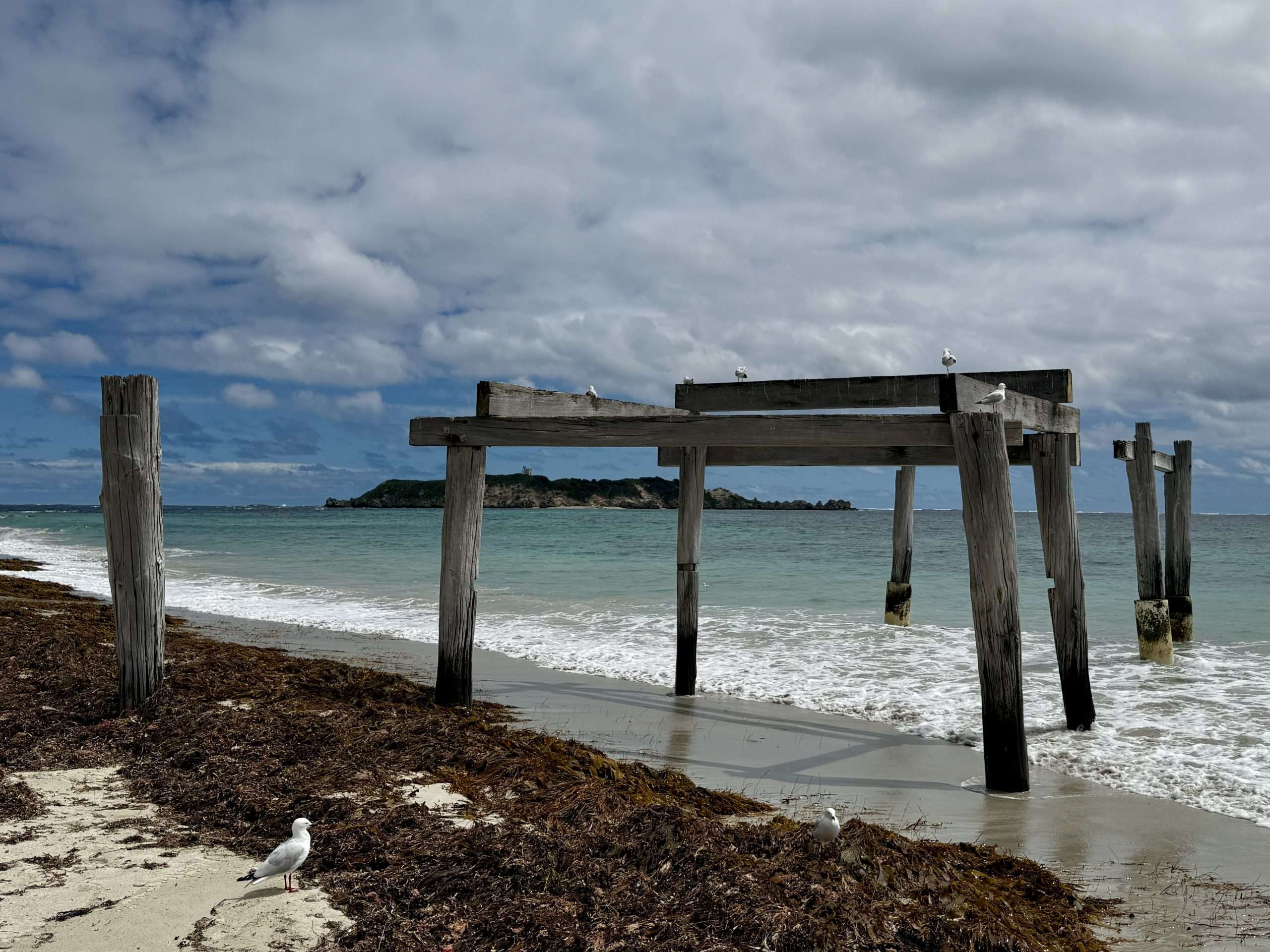
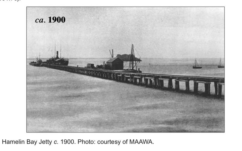
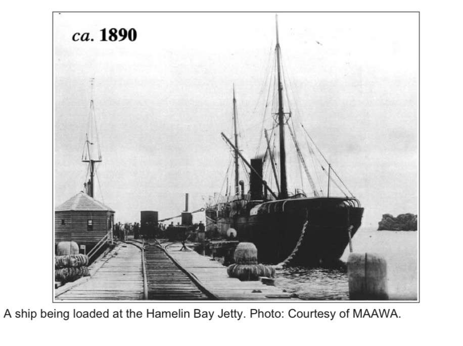
Little remains of Hamelin Bay’s 600-metre long timber jetty that once stretched out into the Indian Ocean. The MC Davies Karri and Jarrah Company built the jetty in 1881, to service the local timber mills. The jetty was equipped to handle three vessels and had two big steam cranes, storehouses, a telephone to the companies head office in Karridale and a spring fed pipeline to supply freshwater. A fleet of six lighters – open, flat-bottomed boats – and a steam tug worked the port where timber was loaded onto sailing Barques.
In the late 1800s and early 1900s, Hamelin Bay was a bustling port, with forests of towering Karri and Jarrah nearby. The area became a hub for logging operations, with the timber being cut inland and transported to the coast for export. Jarrah was prized for its durability, and used for railway sleepers, wharves, bridges and construction around the British Empire, particularly to the United Kingdom, India, and South Africa. Logs were brought to the bay by tramways and rail, or by horse-drawn carts from the nearby sawmills.
Hamelin Bay became a hive of industrial activity – stacks of sawn timber lined the shore, workers and drays moved constantly along the jetty, and vessels waited at anchor to be loaded with valuable cargo. A small settlement grew around the port to house workers and provide services for the shipping trade. Inter-colonial steamers and other vessels also used the port to deliver supplies, mail and immigrants in search of work and a new life. The area thrived for a time.
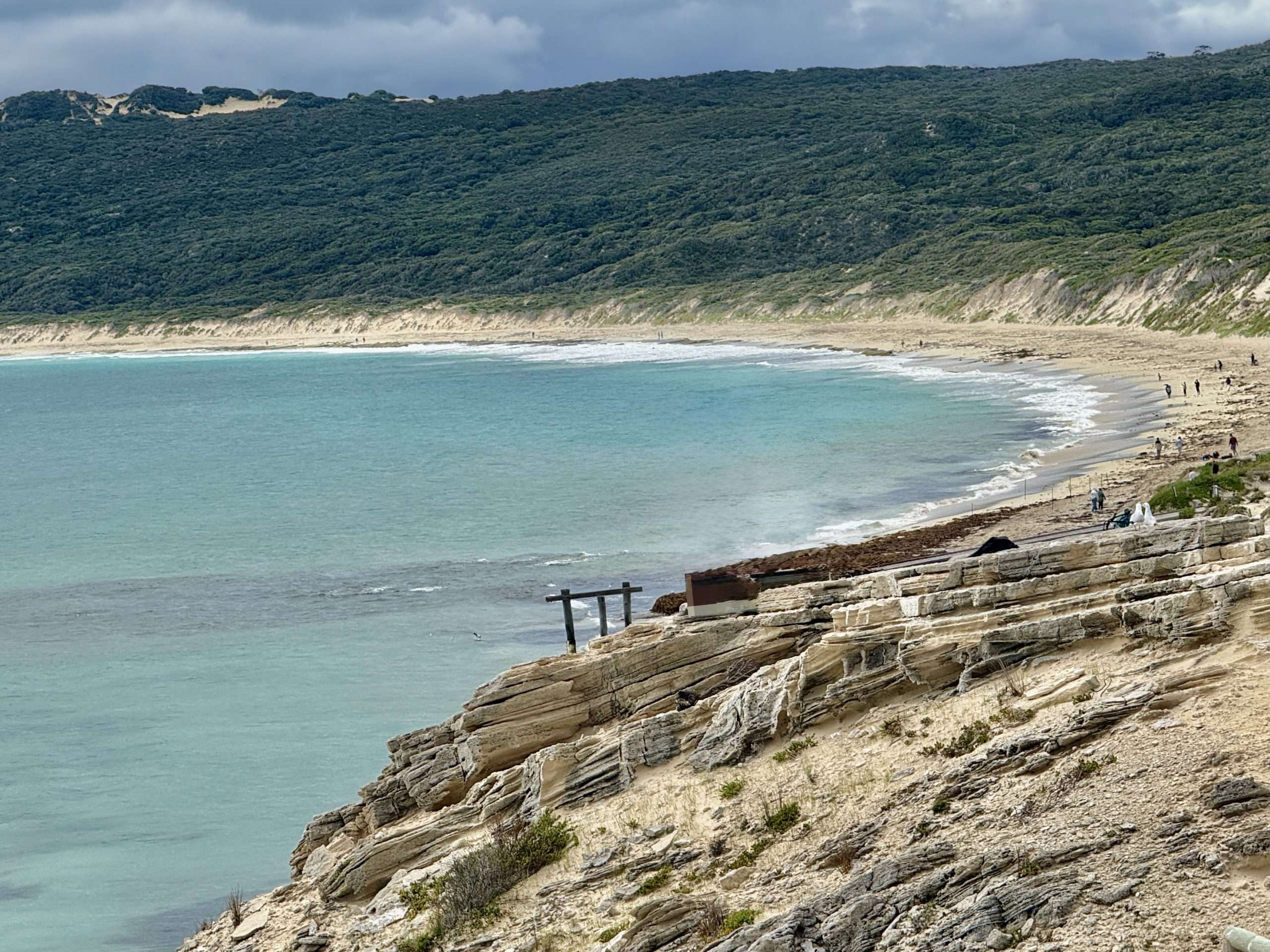
The water is flat calm today, but Hamelin Bay is a notoriously dangerous place and marked by tragedy. The bay is shallow and exposed to fierce southerly and westerly storms sweeping in from the southern ocean. These storms lash the coastline with violent winds and massive swells.
It’s hard to imagine what it must’ve been like when huge waves crashed over the jetty and sunk numerous ships. One of the worst storms occurred in July 1900, when a massive storm destroyed part of the jetty and wrecked seven ships anchored in the bay. Lives were lost, and the disaster contributed to the decline of Hamelin Bay as a major port. Although the jetty was partially repaired, the port never fully recovered. The jetty itself suffered repeated damage over time from these storms, and eventually fell into disuse and ruin as shipping moved to safer harbours, like Flinders Bay near Augusta, and Busselton. By 1913 the jetty was abandoned, then in 1921 fire destroyed much of the jetty, and in 1961 a severe storm destroyed most of the remaining structure. Today, remnants of the old jetty can still be seen, weathered and broken – timber pylons jutting out of the sea, silent witnesses to a bygone era.
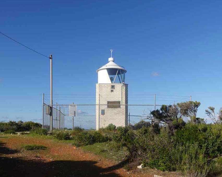
On nearby Hamelin Island, you can see the ruins of the old lighthouse. It was built in 1937 and powered by acetylene gas. The gas cylinders were hauled across to the island via an aerial cable way. In 1967, the light was moved to the mainland behind Cape Hamelin to a higher location and became known as Foul Bay Lighthouse.
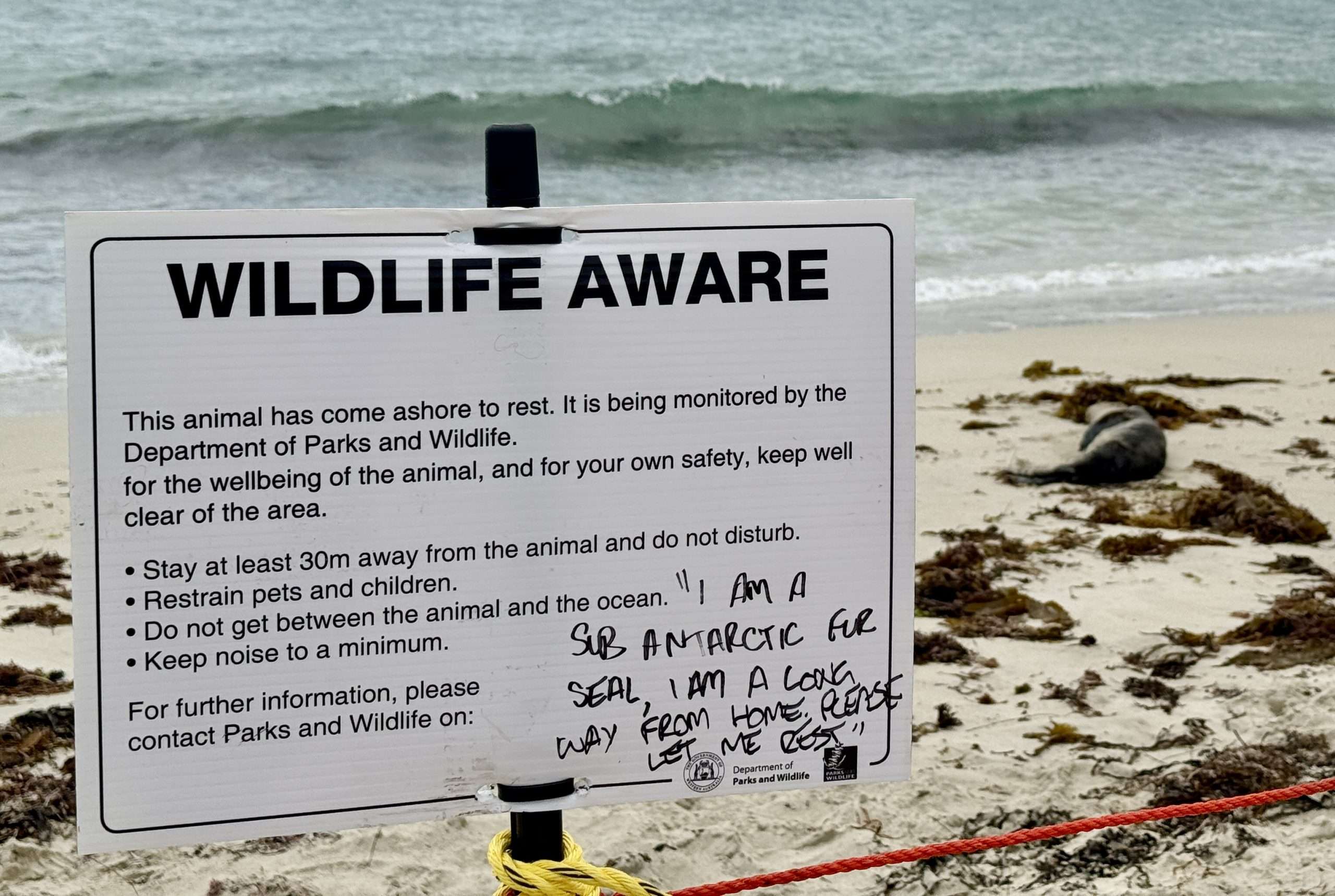
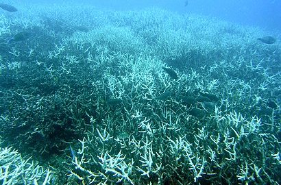
The Bay is now more famous for its crystal clear waters, sandy beaches, and visits from friendly stingrays. During my visit, there are no stingrays. But there is a special visitor on the beach – a snoozing seal. The Department of Parks and Wildlife have erected a temporary fence around the seal and placed a wildlife aware sign, asking people to stay at least 30 m away, not to disturb and to keep noise to the minimum. Someone has written on the sign “I am a sub Antarctic fur seal, I am a long way from home, please let me rest”. Times have changed, back in the day he would have been hunted for food or captured by Baudin and his team and fed ground rice and red wine for the journey back to Europe!
Children paddle in the shallows and Cape to Cape hikers, on the track from Cape Naturaliste to Cape Leeuwin, trudge along the beach, some in hiking boots, others in bare feet. While Hamelin Bay is not one of the end points, it is a common overnight stop or staging point for multi-day hikers. It lies roughly two-thirds of the way down the track. Hikers still have another 25 to 28 km until they reach Cape Leeuwin.
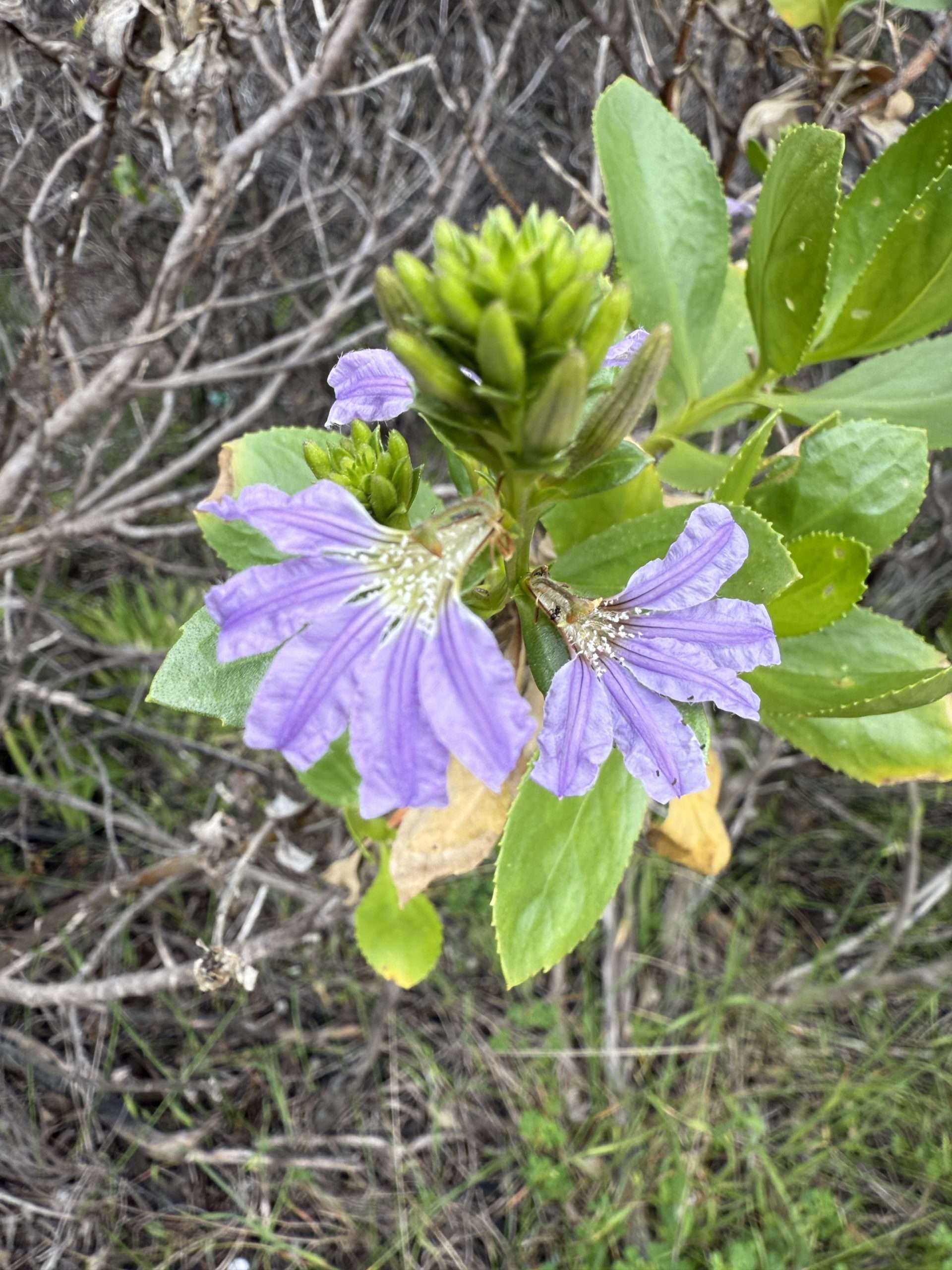
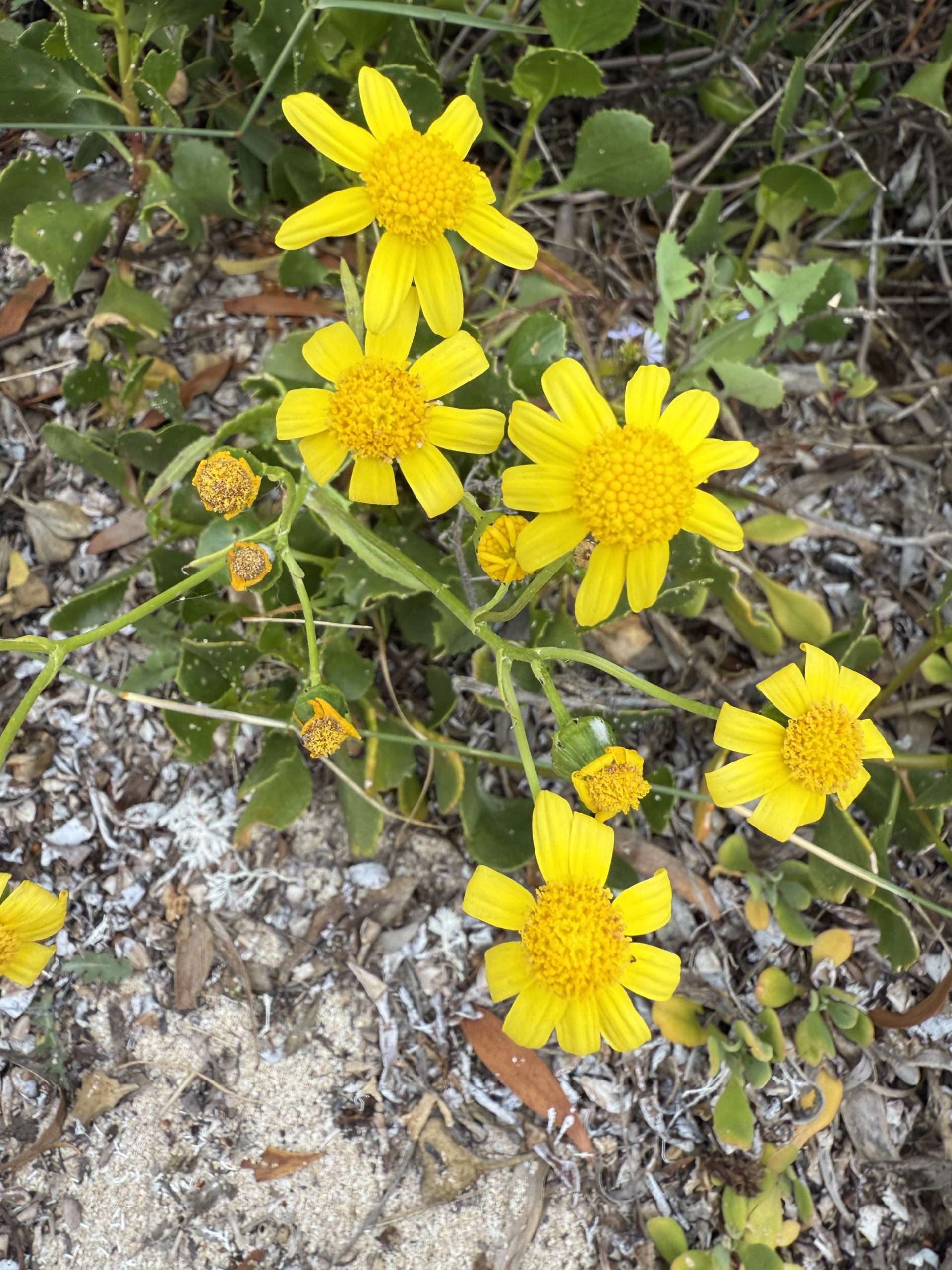
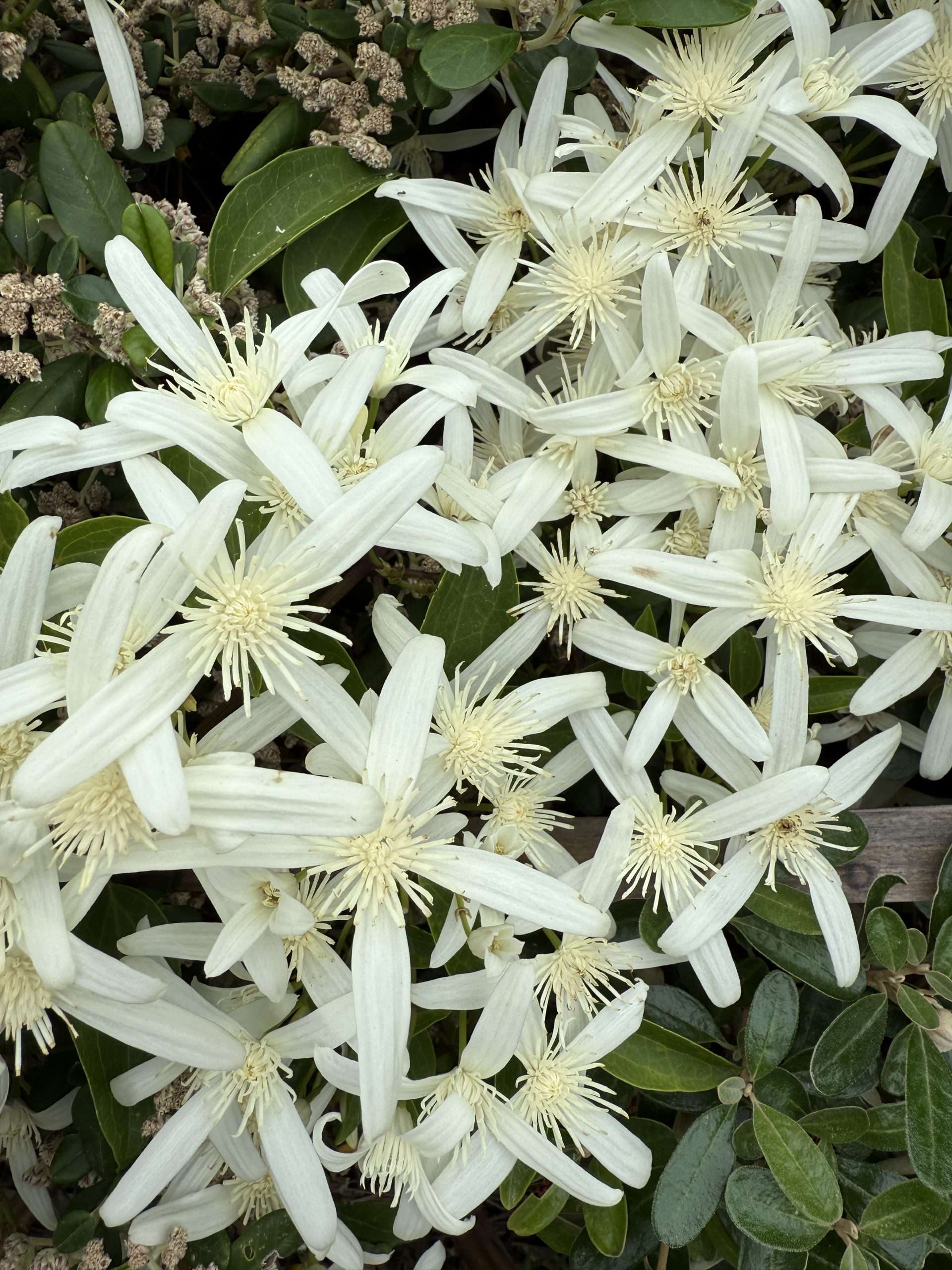
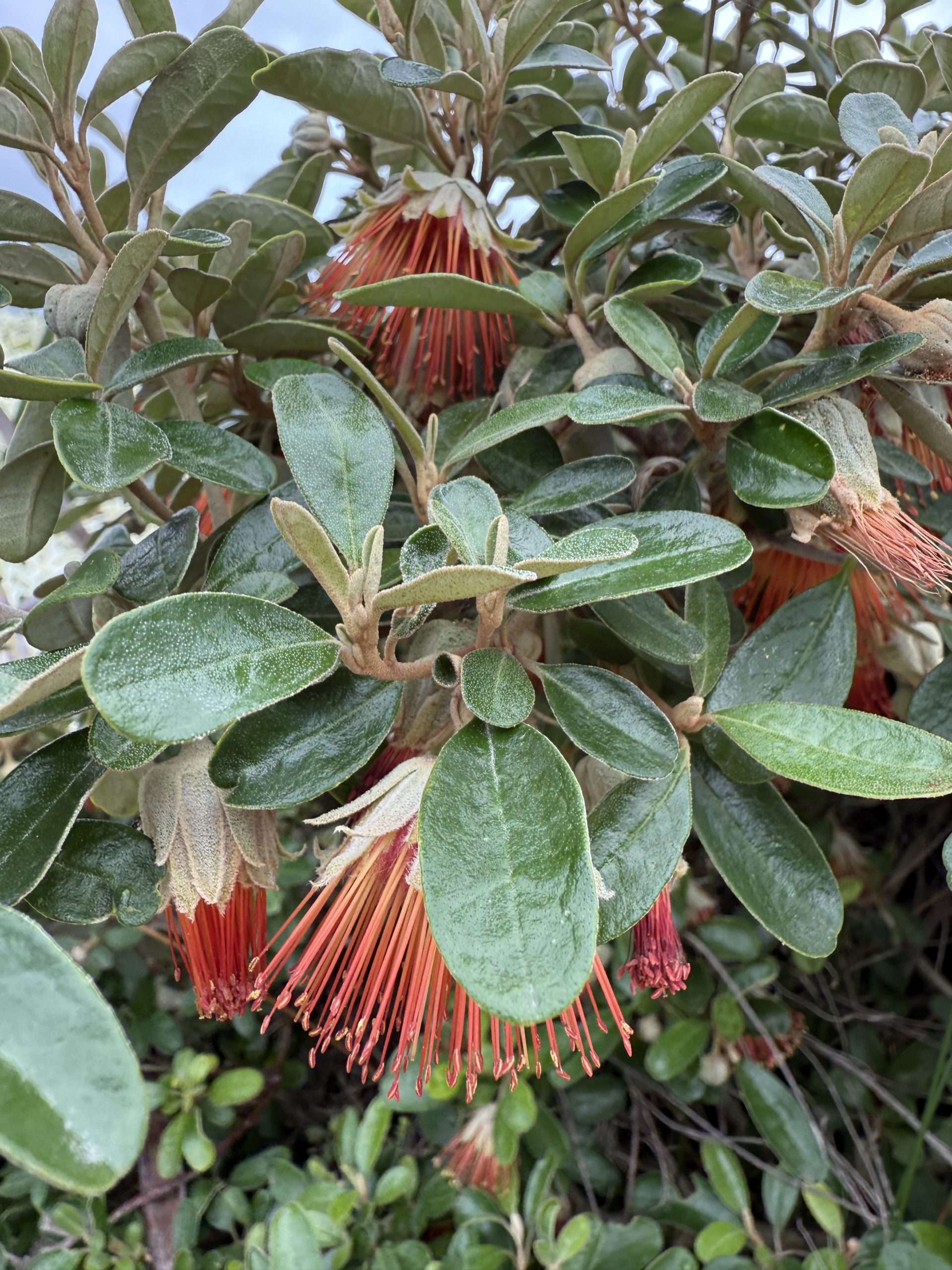
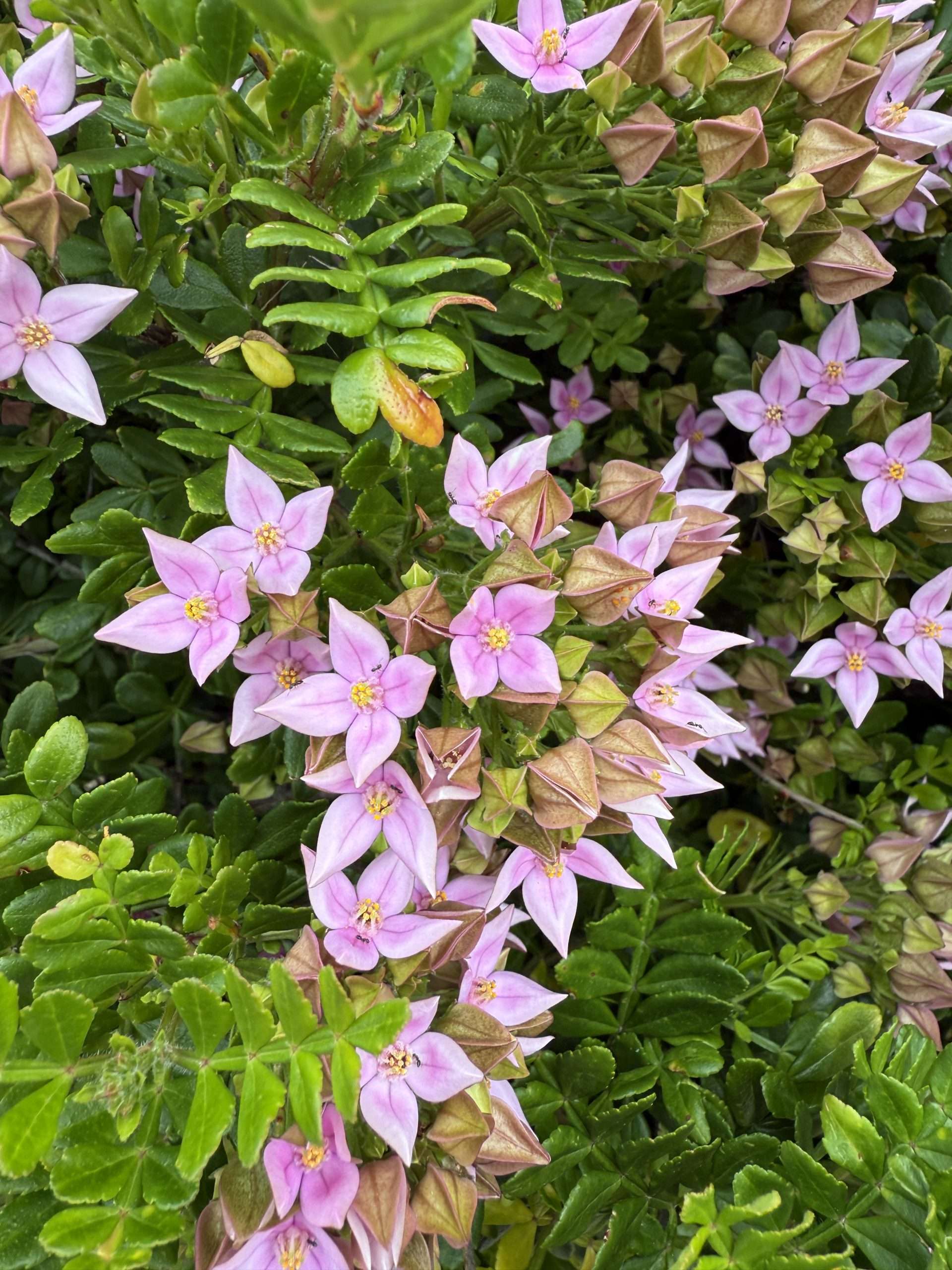
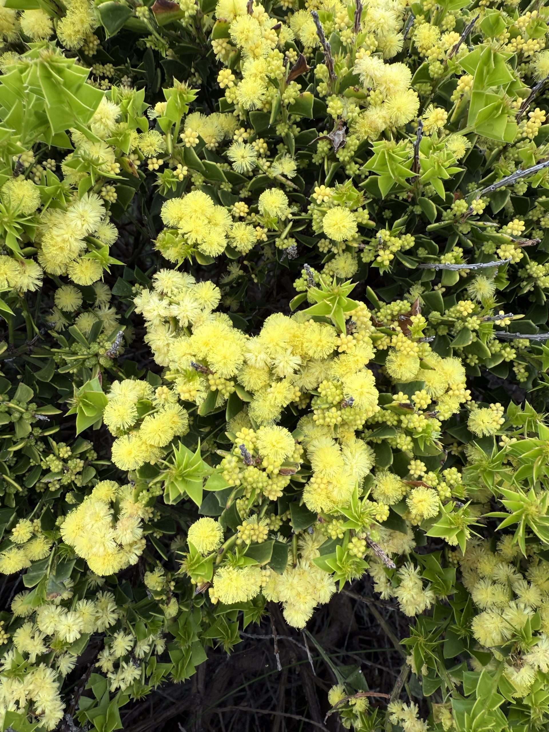
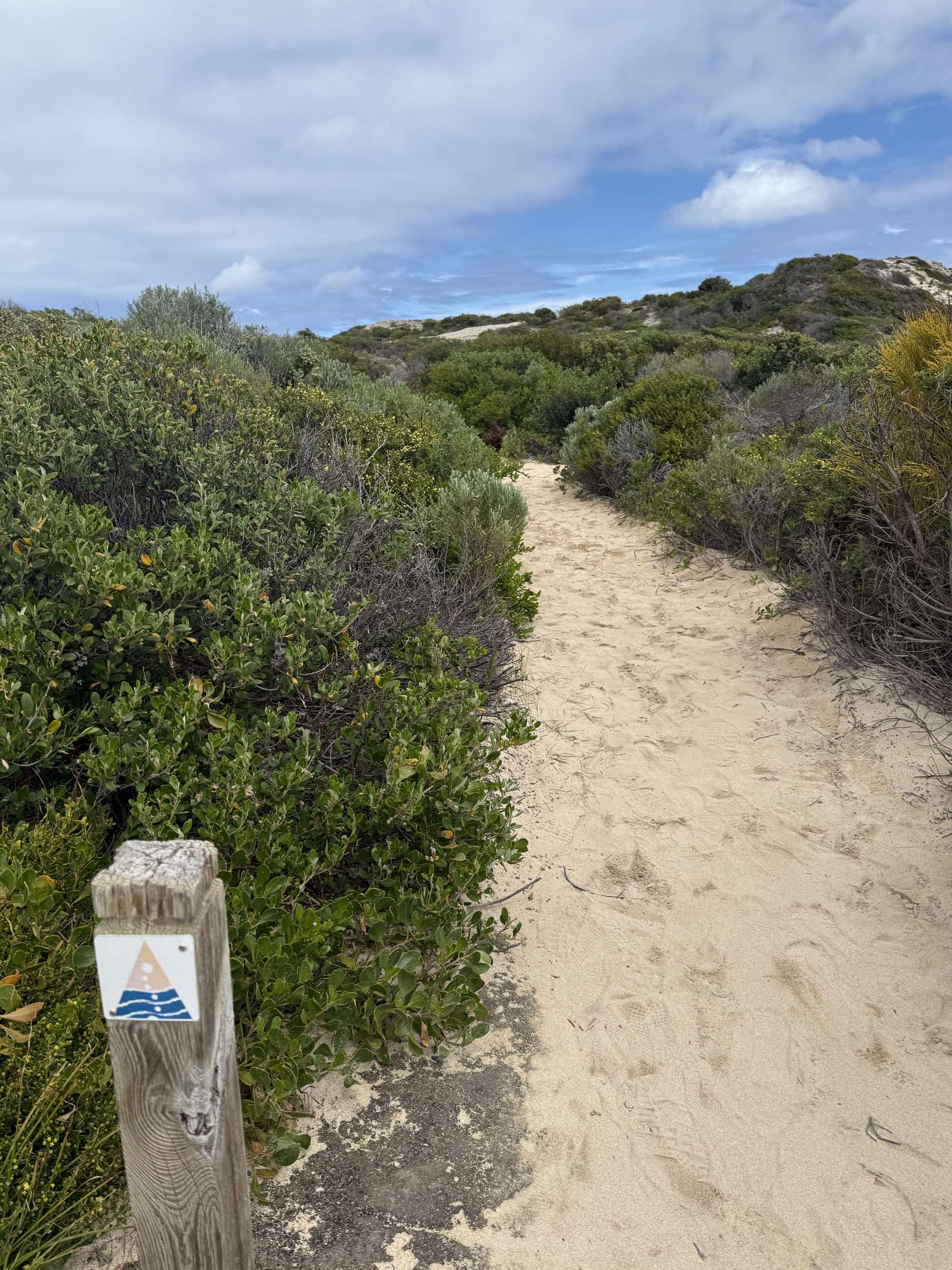
I’m happy to stroll along part of the Cape to Cape track and admire spring wildflowers in full bloom. A humpback whale and its calf cruise by. Moments like these are a reminder that there are some fabulous places on our doorstep.
STORY AND PHOTOGRAPHS by Jean Hudson @jeansodyssey.
Jean Hudson is our Shipping and Sailing Correspondent and also a regular feature writer and photographer here on the Shipping News. You will find Jean’s informative Places I Love stories, as well as other feature stories and Freo Today photographs, right here.
* If you’d like to COMMENT on this or any of our stories, don’t hesitate to email our Editor.
** WHILE YOU’RE HERE –
PLEASE HELP US TO GROW FREMANTLE SHIPPING NEWS
FSN is a reader-supported, volunteer-assisted online magazine all about Fremantle. Thanks for helping to keep FSN keeping on!
*** Don’t forget to SUBSCRIBE to receive your free copy of The Weekly Edition of the Shipping News each Friday!
****AND Shipees, here’s how to ORDER YOUR FSN MERCH. Fabulous Tees with great options now available!


